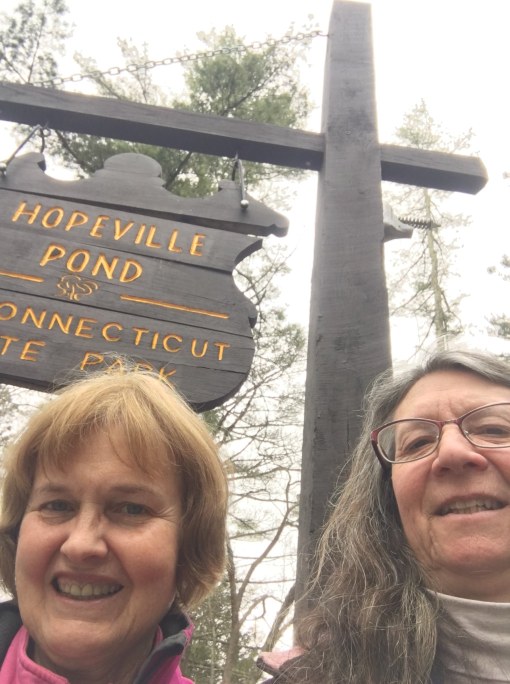
Sky’s the Limit Site #11
From the DEEP website:
The Pachaug River was a major fishing ground for the Mohegan Indians. At low water the stone weirs, constructed by the Indians at angles from the river banks, are still visible. These weirs directed water flow as well as eels, shad, and other fish toward the center of the stream where the Indians placed baskets to trap them. Until blocked up by a dam, constructed in 1828 at Greenville, shad passed up the Quinebaug River in great numbers.
In pioneer times, the gristmill and sawmill were among the first requisites of a community. In 1711, surveyor Stephen Gates was granted fourteen acres of land within the limits of the present state park for the purpose of constructing mills. He erected a sawmill and cornmill at the natural falls (now underwater) on the Pachaug River for the convenience of the inhabitants. In 1818, Elizah Abel purchased this mill privilege and erected a woolen mill at the site. John Slater later purchased the woolen mill, sawmill, and gristmill; he then built a satinet mill faced with local granite. He named his new mill the Hope Mill. The name Hopeville was derived from this and has remained to the present time. In 1860, the village of Hopeville reached its zenith with the tremendous demands for woolens. At this time, it was owned by Edwin Lanthrop and Company and prospered until 1881 when the mill was destroyed by fire, never to be rebuilt. At the turn of the century, the church and four houses in the community burned. Furthermore, in 1908, the gristmill which had operated from 1711 until that time also went up in flames.
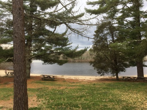
View from parking area
The site’s suitability for recreational activities was recognized in the 1930’s when the Federal Government purchased considerable acreage in Eastern Connecticut. These lands were managed by the Civilian Conservation Corps with evidence of much of the work done by the CCC still visible in the pine plantations, forest roads, and fire control ponds. Most of these federally purchased lands now comprise portions of the nearby Pachaug State Forest. In 1938 Hopeville Pond was designated as a state park.
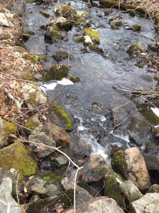
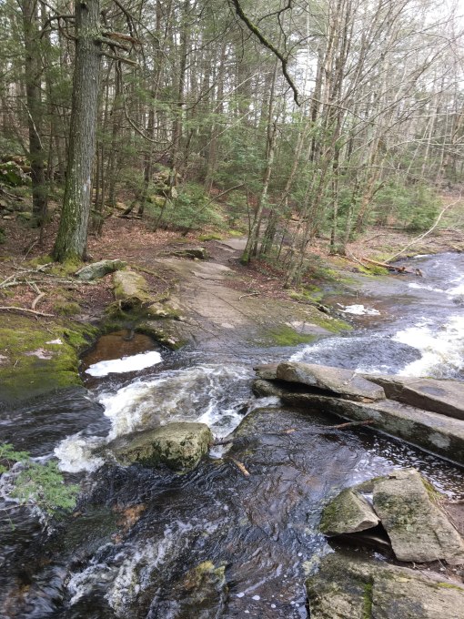
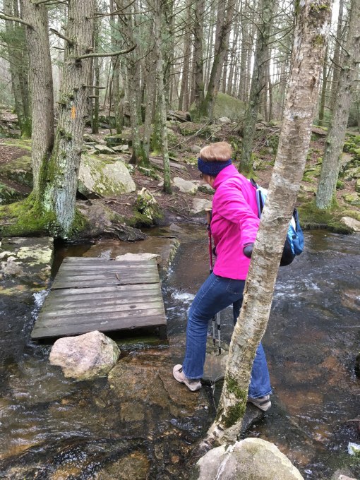
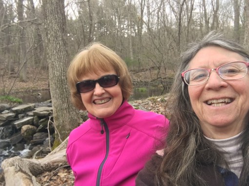
High water flow on our hike

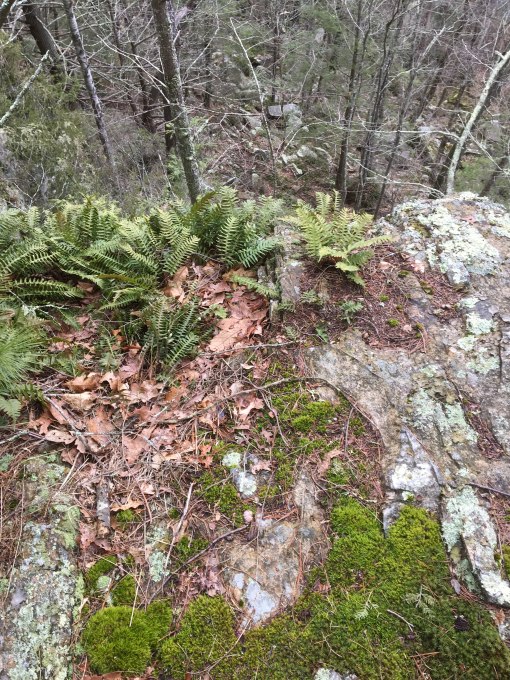
Bizarre canker in birch tree
We reach the small waterfall

It must be time for lunch!
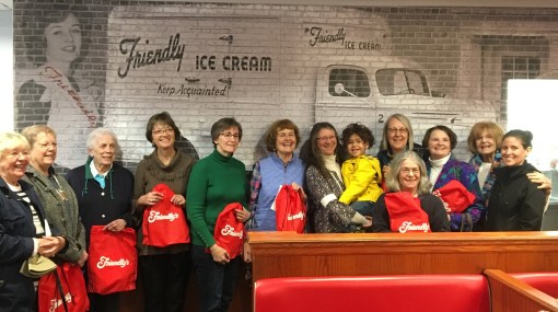
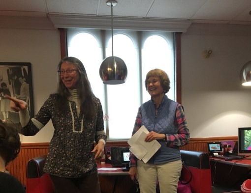 Cherry and I returned to the “scene of the crime” where our Friendly’s adventures began, in Cromwell, CT. Surrounded by family and friends, we recounted our story of visiting 22 Connecticut Friendly’s and our associated hikes.
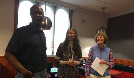 Cromwell’s manager Sean and his excellent staff took good care of us, with complimentary sundaes and goodie bags from Corporate Headquarters.
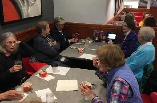 We all had Friendly’s memories and stories to share and a chance to reunite with long-time friends and cross-pollinate with others.
 The perfect activities for a gloomy, rainy afternoon!
 Thank you, Cromwell Friendly’s, all the other Connecticut stores, and Headquarters for making a memorable day!