(Text from DEEP website) Where once there were farm fields and pastures, today there is a totally wooded, wonderfully situated, twenty-first century state park. Dedicated in 2001, this recent addition to the park system preserves 177 acres of ecologically important Connecticut River frontage. Tucked into a growing suburban landscape, River Highlands has escaped development to provide a quiet refuge with a wonderful view.
 Lush with mixed woodlands dominated by oak, beech, and white pine, the hilly topography ranges in elevation from about 15 feet above sea level by the river to over 150 feet at the northern and southern high spots on the bluffs.
The most level area, or at least the most gently sloping, is at the park entrance on Field Road. It was here, and to the north, that pasture and field once flourished. Today the woodlands have taken over and the wetland systems have rebuilt themselves offering the visitor a true glimpse of the tranquility of the Eastern Forests.
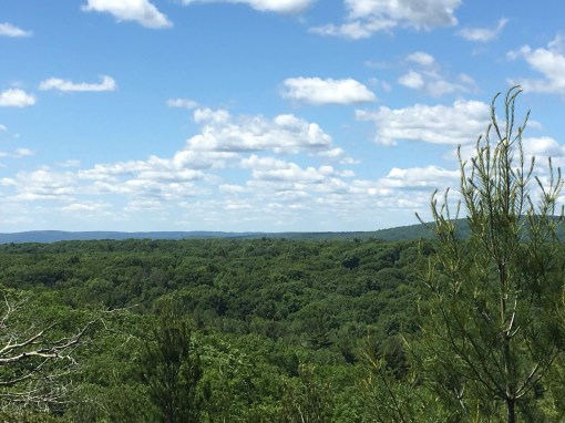
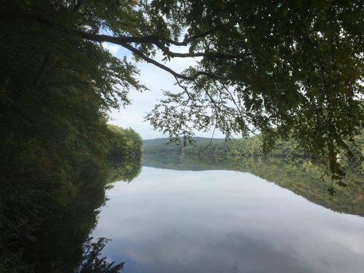
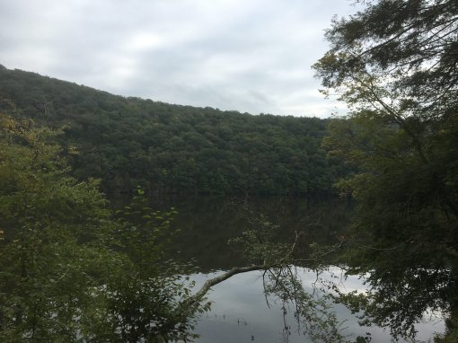
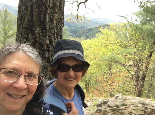
 But the real asset of the park is the view from the bluffs it protects. The Connecticut River, beautiful from so many locations, is at its best here. The bluffs are highest at the northern end of the park rising 130 feet above the water, and the view is ample reward for the hike to get there.
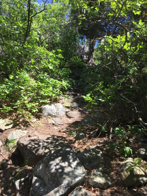
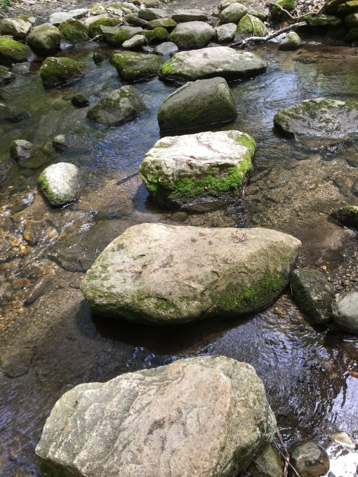
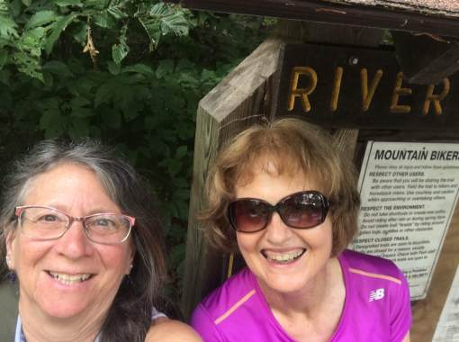
The are many trails in the park to lead the hiker across wooden bridges, over streams, along the 150 foot high bluff, or down to the water’s edge past a unique geologic feature known as the blowhole. Here one can hear the wind as it whistles past the bluffs. The Native Americans came to listen to the “wind being caught by the spirit of the earth.” When the colonists arrived they called it Devil’s Blowhole, believing it was an act of Satan. Sailors knew it as an area of quick winds as the park is just upstream of one of the tightest bends on the lower river.
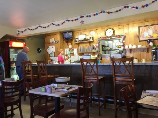
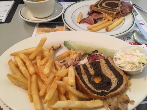
Lunch at Ambrosia, Cromwell